
Make a donation
Gear up for your next adventure:
As an Amazon Associate, this site earns from qualifying purchases at no extra cost to you.
Holcomb topographic map
Click on the map to display elevation.
Make a donation
Gear up for your next adventure:
As an Amazon Associate, this site earns from qualifying purchases at no extra cost to you.
About this map
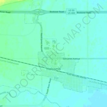
Name: Holcomb topographic map, elevation, terrain.
Location: Holcomb, Finney County, Kansas, United States (37.97838 -101.01159 38.00268 -100.97015)
Average elevation: 879 m
Minimum elevation: 874 m
Maximum elevation: 893 m
Make a donation
Gear up for your next adventure:
As an Amazon Associate, this site earns from qualifying purchases at no extra cost to you.
Other topographic maps
Click on a map to view its topography, its elevation and its terrain.
Garden City
United States > Kansas > Finney County > Garden City > Garden City
Average elevation: 882 m
Make a donation
Gear up for your next adventure:
As an Amazon Associate, this site earns from qualifying purchases at no extra cost to you.