
La Castellana topographic map
Interactive map
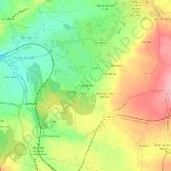
Click on the map to display elevation.
About this map
Name: La Castellana topographic map, elevation, terrain.
Average elevation: 325 m
Minimum elevation: 251 m
Maximum elevation: 406 m
Other topographic maps
Click on a map to view its topography, its elevation and its terrain.
San Cibrao das Viñas
España > Galicia > Orense > San Ciprián de Viñas
San Cibrao das Viñas, San Ciprián de Viñas, Orense, Galicia, 32911, España
Average elevation: 223 m