
Waterloo topographic map
Click on the map to display elevation.
About this map
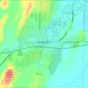
Name: Waterloo topographic map, elevation, terrain.
Location: Waterloo, Jefferson County, Wisconsin, United States (43.16870 -89.00983 43.19781 -88.97024)
Average elevation: 257 m
Minimum elevation: 240 m
Maximum elevation: 298 m