
Namungo topographic map
Interactive map
Click on the map to display elevation.
About this map
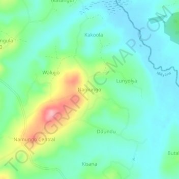
Name: Namungo topographic map, elevation, terrain.
Location: Namungo, Mityana, Central Region, Uganda (0.41333 32.18000 0.45333 32.22000)
Average elevation: 1,150 m
Minimum elevation: 1,111 m
Maximum elevation: 1,252 m