
Make a donation
Gear up for your next adventure:
As an Amazon Associate, this site earns from qualifying purchases at no extra cost to you.
Scott City topographic map
Click on the map to display elevation.
Make a donation
Gear up for your next adventure:
As an Amazon Associate, this site earns from qualifying purchases at no extra cost to you.
Scott City
According to the United States Census Bureau, the city has a total area of 2.63 square miles (6.81 km2), all land. It is located in the Great Plains and at the elevation of 2979 ft.
Make a donation
Gear up for your next adventure:
As an Amazon Associate, this site earns from qualifying purchases at no extra cost to you.
About this map
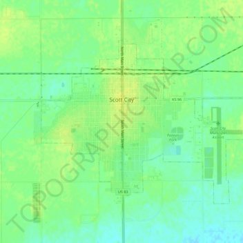
Name: Scott City topographic map, elevation, terrain.
Location: Scott City, Scott County, Kansas, 67871, United States (38.46398 -100.92538 38.49309 -100.87013)
Average elevation: 903 m
Minimum elevation: 894 m
Maximum elevation: 910 m
Make a donation
Gear up for your next adventure:
As an Amazon Associate, this site earns from qualifying purchases at no extra cost to you.