Geolocate

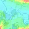
Forest Grove topographic map

Click on the map to display elevation.

About this map
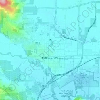
Name: Forest Grove topographic map, elevation, terrain.

Location: Forest Grove, Washington County, Oregon, 97116, United States (45.50173 -123.15353 45.54508 -123.07058)

Average elevation: 61 m

Minimum elevation: 42 m

Maximum elevation: 275 m

Other topographic maps

Click on a map to view its topography, its elevation and its terrain.
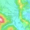
Gales Creek

United States > Oregon > Washington County

Average elevation: 128 m

Scholls

United States > Oregon > Washington County

Average elevation: 52 m

Buxton

United States > Oregon > Washington County

Average elevation: 146 m

Glenwood

United States > Oregon > Washington County

Average elevation: 249 m

Gear up for your next adventure:

🔋Solar Power Banks - Charge your phone and GPS using the sun while deep in the bush
🔥Ferrocerium Rod Fire Starters - Reliable fire lighting in wet or windy conditions without matches
🪑Portable Backpacking Chairs - A comfortable seat for studying maps at the end of the day
☀️Portable Solar Chargers - High-efficiency panels to hang on your backpack while walking
📸Action Cameras - Record your journey across interesting topographic features in 4K

As an Amazon Associate, this site earns from qualifying purchases at no extra cost to you.