
Sehlem topographic map
Interactive map
Click on the map to display elevation.
About this map
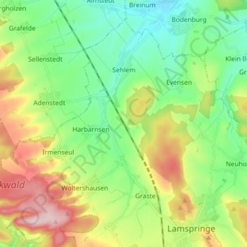
Name: Sehlem topographic map, elevation, terrain.
Average elevation: 208 m
Minimum elevation: 116 m
Maximum elevation: 379 m
Sehlem liegt südlich von Hildesheim, südlich vom Hildesheimer Wald und westlich des Höhenzuges Harplage.