Flaxton topographic map
Interactive map
Click on the map to display elevation.
About this map
![Flaxton topographic map, elevation, terrain](/pub/maps/relation/pvgt/nmj3q/thumbnail.jpg)
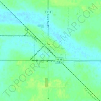
Name: Flaxton topographic map, elevation, terrain.
Location: Flaxton, Burke County, North Dakota, United States (48.89247 -102.39899 48.90148 -102.38630)
Average elevation: 589 m
Minimum elevation: 583 m
Maximum elevation: 597 m
Other topographic maps
Click on a map to view its topography, its elevation and its terrain.
![Burke County topographic map, elevation, terrain](/pub/maps/relation/rnx/gn2cnx/icon.jpg)
Burke County
United States > North Dakota > Burke County
Burke County, North Dakota, United States
Average elevation: 645 m