
Azabache topographic map
Interactive map
Click on the map to display elevation.
About this map
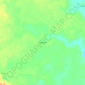
Name: Azabache topographic map, elevation, terrain.
Location: Azabache, Belén de los Andaquíes, Caquetá, Colômbia (1.29822 -75.80976 1.33822 -75.76976)
Average elevation: 253 m
Minimum elevation: 234 m
Maximum elevation: 277 m