
Sobral topographic map
Interactive map
Click on the map to display elevation.
About this map
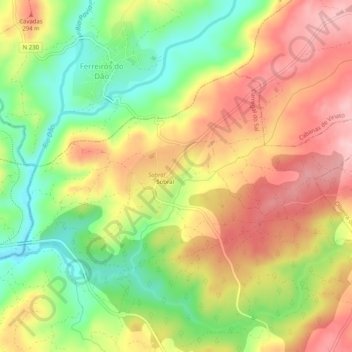
Name: Sobral topographic map, elevation, terrain.
Location: Sobral, Carregal do Sal, Viseu, Portugal (40.44755 -8.04715 40.47040 -7.99656)
Average elevation: 226 m
Minimum elevation: 127 m
Maximum elevation: 319 m