
Viegas topographic map
Interactive map
Click on the map to display elevation.
About this map
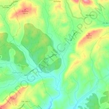
Name: Viegas topographic map, elevation, terrain.
Location: Viegas, Alcanede, Santarém, 2040-152, Portugal (39.39161 -8.87951 39.43161 -8.83951)
Average elevation: 114 m
Minimum elevation: 55 m
Maximum elevation: 207 m