
Las Flores topographic map
Interactive map
Click on the map to display elevation.
About this map
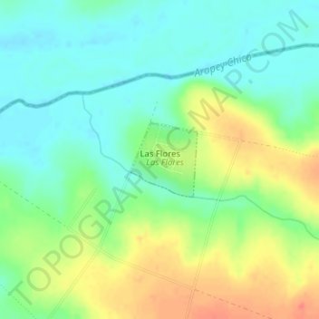
Name: Las Flores topographic map, elevation, terrain.
Location: Las Flores, Salto, 50000, Uruguay (-31.06019 -57.03748 -31.05394 -57.03089)
Average elevation: 105 m
Minimum elevation: 85 m
Maximum elevation: 137 m