
Chung Khurad topographic map
Interactive map
Click on the map to display elevation.
About this map
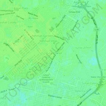
Name: Chung Khurad topographic map, elevation, terrain.
Location: Chung Khurad, Lahore District, Punjab, 54792, Pakistan (31.45995 74.39286 31.49995 74.43286)
Average elevation: 215 m
Minimum elevation: 208 m
Maximum elevation: 219 m