
Pirtanr topographic map
Interactive map
Click on the map to display elevation.
About this map
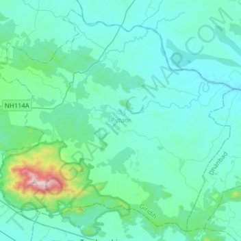
Name: Pirtanr topographic map, elevation, terrain.
Location: Pirtanr, Giridih, Jharkhand, 825108, India (23.91401 86.08449 24.13148 86.34310)
Average elevation: 332 m
Minimum elevation: 203 m
Maximum elevation: 1,353 m
Other topographic maps
Click on a map to view its topography, its elevation and its terrain.