
Barangay 59 topographic map
Interactive map
Click on the map to display elevation.
About this map
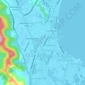
Name: Barangay 59 topographic map, elevation, terrain.
Location: Barangay 59, Tacloban, Bisayas Orientales, 6500, Filipinas (11.20047 124.97739 11.24047 125.01739)
Average elevation: 27 m
Minimum elevation: -1 m
Maximum elevation: 280 m