
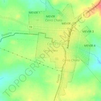
Cerro Chato topographic map
Interactive map
Click on the map to display elevation.
About this map
Name: Cerro Chato topographic map, elevation, terrain.
Location: Cerro Chato, Florida, 35200, Uruguay (-33.11124 -55.14152 -33.10171 -55.13175)
Average elevation: 250 m
Minimum elevation: 219 m
Maximum elevation: 286 m