
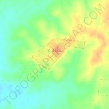
Gallinal topographic map
Interactive map
Click on the map to display elevation.
About this map
Name: Gallinal topographic map, elevation, terrain.
Location: Gallinal, Paysandú, 60001, Uruguay (-31.88858 -57.48485 -31.88078 -57.46946)
Average elevation: 106 m
Minimum elevation: 87 m
Maximum elevation: 129 m