
Marshall County topographic map
Interactive map
Click on the map to display elevation.
About this map
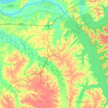
Name: Marshall County topographic map, elevation, terrain.
Location: Marshall County, Kentucky, United States (36.74634 -88.48572 37.06598 -88.11082)
Average elevation: 126 m
Minimum elevation: 92 m
Maximum elevation: 179 m