
Rüthen topographic map
Interactive map
Click on the map to display elevation.
About this map
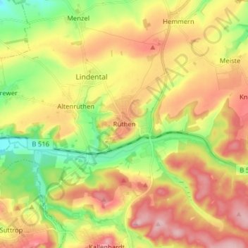
Name: Rüthen topographic map, elevation, terrain.
Location: Rüthen, Kreis Soest, Nordrhein-Westfalen, 59602, Deutschland (51.45114 8.39303 51.53114 8.47303)
Average elevation: 345 m
Minimum elevation: 259 m
Maximum elevation: 432 m