
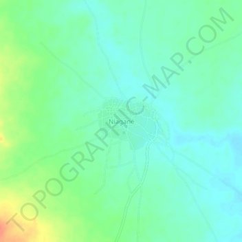
Niagané topographic map
Interactive map
Click on the map to display elevation.
About this map
Name: Niagané topographic map, elevation, terrain.
Location: Niagané, Cercle de Kita, Kayes, Mali (14.24479 -9.76141 14.28479 -9.72141)
Average elevation: 273 m
Minimum elevation: 259 m
Maximum elevation: 303 m