
Bejin topographic map
Interactive map
Click on the map to display elevation.
About this map
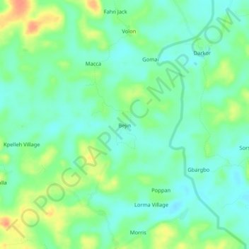
Name: Bejin topographic map, elevation, terrain.
Location: Bejin, Kakata, Margibi County, Liberia (6.56945 -10.25753 6.60945 -10.21753)
Average elevation: 92 m
Minimum elevation: 77 m
Maximum elevation: 118 m