
Суриковка topographic map
Interactive map
Click on the map to display elevation.
About this map
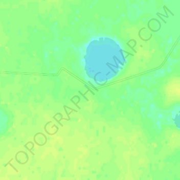
Name: Суриковка topographic map, elevation, terrain.
Location: Суриковка, Костанайский район, Костанайская область, Казахстан (53.59012 63.43358 53.63012 63.47358)
Average elevation: 180 m
Minimum elevation: 171 m
Maximum elevation: 186 m