
Puesto Uno topographic map
Interactive map
Click on the map to display elevation.
About this map
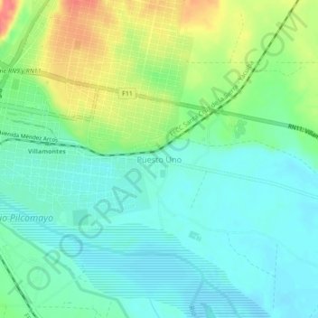
Name: Puesto Uno topographic map, elevation, terrain.
Location: Puesto Uno, Villa Montes, Gran Chaco, Tarija, Bolivia (-21.29138 -63.45783 -21.25138 -63.41783)
Average elevation: 385 m
Minimum elevation: 364 m
Maximum elevation: 430 m