
Looma topographic map
Interactive map
Click on the map to display elevation.
About this map
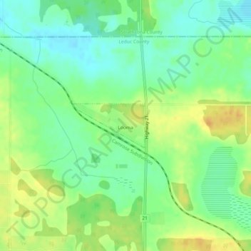
Name: Looma topographic map, elevation, terrain.
Location: Looma, Leduc County, Alberta, Canada (53.35477 -113.25798 53.35955 -113.24513)
Average elevation: 761 m
Minimum elevation: 747 m
Maximum elevation: 776 m