
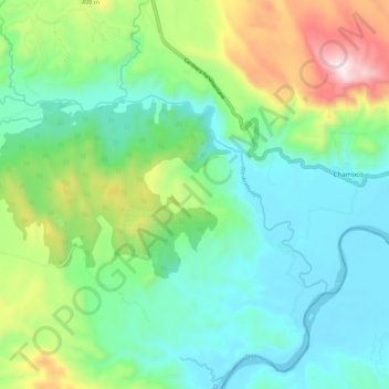
Río Acahuapa topographic map
Interactive map
Click on the map to display elevation.
About this map
Name: Río Acahuapa topographic map, elevation, terrain.
Location: Río Acahuapa, San Vicente, República de El Salvador (13.56964 -88.74673 13.62341 -88.63816)
Average elevation: 253 m
Minimum elevation: 7 m
Maximum elevation: 901 m