
Thank you for supporting this site ❤️
Make a donation
Make a donation
Gear up for your next adventure:
As an Amazon Associate, this site earns from qualifying purchases at no extra cost to you.
Bourou topographic map
Click on the map to display elevation.
Thank you for supporting this site ❤️
Make a donation
Make a donation
Gear up for your next adventure:
As an Amazon Associate, this site earns from qualifying purchases at no extra cost to you.
About this map
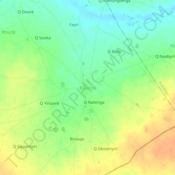
Name: Bourou topographic map, elevation, terrain.
Location: Bourou, Sabou, Boulkiemdé, Central-West, Burkina Faso (12.03836 -2.02973 12.07836 -1.98973)
Average elevation: 320 m
Minimum elevation: 301 m
Maximum elevation: 339 m
Thank you for supporting this site ❤️
Make a donation
Make a donation
Gear up for your next adventure:
As an Amazon Associate, this site earns from qualifying purchases at no extra cost to you.