
Hadfield topographic map
Interactive map
Click on the map to display elevation.
About this map
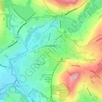
Name: Hadfield topographic map, elevation, terrain.
Location: Hadfield, Derbyshire, East Midlands, England, United Kingdom (53.45706 -1.98808 53.46886 -1.96043)
Average elevation: 174 m
Minimum elevation: 118 m
Maximum elevation: 272 m