
Standdaarbuiten topographic map
Interactive map
Click on the map to display elevation.
About this map
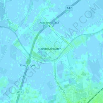
Name: Standdaarbuiten topographic map, elevation, terrain.
Average elevation: 1 m
Minimum elevation: -3 m
Maximum elevation: 7 m
Other topographic maps
Click on a map to view its topography, its elevation and its terrain.
Kreek
Nederland > Noord-Brabant > Standdaarbuiten
Kreek, Standdaarbuiten, Moerdijk, Noord-Brabant, Nederland, 4758 TN, Nederland
Average elevation: 0 m