
Mount Negron topographic map
Click on the map to display elevation.
About this map
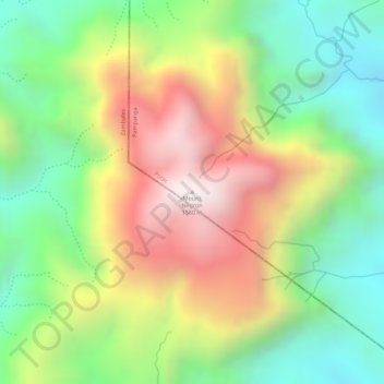
Name: Mount Negron topographic map, elevation, terrain.
Location: Mount Negron, Porac, Pampanga, Central Luzon, Philippines (15.09283 120.36804 15.09293 120.36814)
Average elevation: 1,090 m
Minimum elevation: 704 m
Maximum elevation: 1,555 m
Other topographic maps
Click on a map to view its topography, its elevation and its terrain.