
Avendaños topographic map
Interactive map
Click on the map to display elevation.
About this map
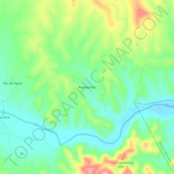
Name: Avendaños topographic map, elevation, terrain.
Location: Avendaños, San Francisco de Borja, Chihuahua, México (27.81966 -106.58644 27.85966 -106.54644)
Average elevation: 1,627 m
Minimum elevation: 1,574 m
Maximum elevation: 1,729 m