
Shirakawa topographic map
Interactive map
Click on the map to display elevation.
About this map
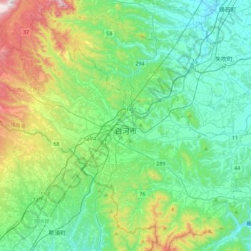
Name: Shirakawa topographic map, elevation, terrain.
Location: Shirakawa, Prefectura de Fukushima, Japón (37.00004 140.09919 37.26170 140.41291)
Average elevation: 421 m
Minimum elevation: 249 m
Maximum elevation: 957 m