
Ghyaru topographic map
Interactive map
Click on the map to display elevation.
About this map
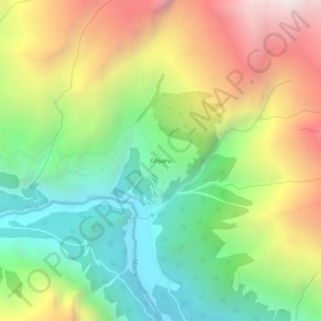
Name: Ghyaru topographic map, elevation, terrain.
Location: Ghyaru, Nyawal, Neshyang, मनाङ, Gandaki, Népal (28.62180 84.11727 28.66180 84.15727)
Average elevation: 3,983 m
Minimum elevation: 3,215 m
Maximum elevation: 5,071 m