
Sunshine Park topographic map
Interactive map
Click on the map to display elevation.
About this map
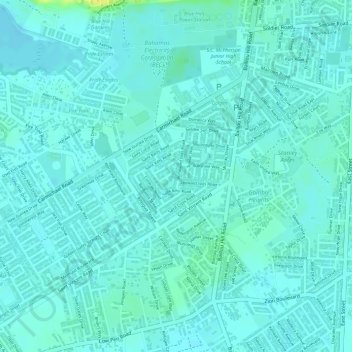
Name: Sunshine Park topographic map, elevation, terrain.
Location: Sunshine Park, New Providence, The Bahamas (25.02240 -77.36259 25.03030 -77.35214)
Average elevation: 7 m
Minimum elevation: 2 m
Maximum elevation: 26 m
Other topographic maps
Click on a map to view its topography, its elevation and its terrain.
Coconut Grove
The Bahamas > Coconut Grove > New Providence
Coconut Grove, New Providence, The Bahamas
Average elevation: 8 m
Imperial Park
Imperial Park, New Providence, The Bahamas
Average elevation: 6 m
Emerald Coast
Emerald Coast, New Providence, The Bahamas
Average elevation: 7 m