
Town of Cary topographic map
Interactive map
Click on the map to display elevation.
About this map
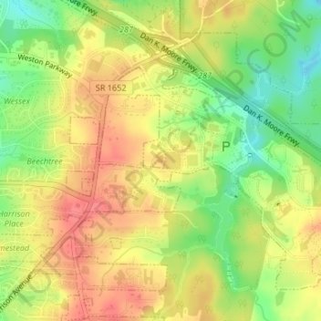
Name: Town of Cary topographic map, elevation, terrain.
Location: Town of Cary, Wake County, North Carolina, USA (35.82170 -78.76530 35.82328 -78.76381)
Average elevation: 127 m
Minimum elevation: 92 m
Maximum elevation: 153 m