
Laguna Orurillo topographic map
Interactive map
Click on the map to display elevation.
About this map
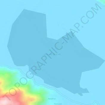
Name: Laguna Orurillo topographic map, elevation, terrain.
Location: Laguna Orurillo, Orurillo, Melgar, Puno, Perú (-14.73727 -70.50594 -14.71489 -70.47984)
Average elevation: 3,905 m
Minimum elevation: 3,884 m
Maximum elevation: 4,193 m