
Río Heath topographic map
Interactive map
Click on the map to display elevation.
About this map
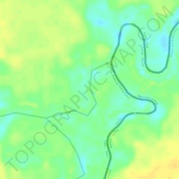
Name: Río Heath topographic map, elevation, terrain.
Location: Río Heath, San Pedro de Putina Punco, Sandia, Puno, Perú (-13.53594 -68.95262 -13.52735 -68.94241)
Average elevation: 239 m
Minimum elevation: 224 m
Maximum elevation: 251 m
Other topographic maps
Click on a map to view its topography, its elevation and its terrain.
Provincia de Sandia
Perú > Puno > San Pedro de Putina Punco
Provincia de Sandia, San Pedro de Putina Punco, Sandia, Puno, Perú
Average elevation: 1,477 m