
Hunua topographic map
Interactive map
Click on the map to display elevation.
About this map
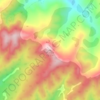
Name: Hunua topographic map, elevation, terrain.
Location: Hunua, Ruapehu District, Manawatū-Whanganui, New Zealand (-38.99465 175.28750 -38.99455 175.28760)
Average elevation: 455 m
Minimum elevation: 262 m
Maximum elevation: 613 m
Other topographic maps
Click on a map to view its topography, its elevation and its terrain.
Mount Ruapehu
New Zealand > Manawatu-Whanganui > Ruapehu District
Mount Ruapehu, Ruapehu District, Manawatū-Whanganui, New Zealand
Average elevation: 2,474 m