Geolocate

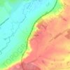
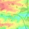
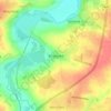
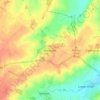
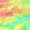
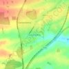
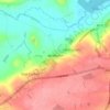
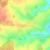
Wadenhoe topographic map

Click on the map to display elevation.

About this map

Name: Wadenhoe topographic map, elevation, terrain.

Location: Wadenhoe, North Northamptonshire, England, United Kingdom (52.43592 -0.55114 52.45809 -0.49358)

Average elevation: 60 m

Minimum elevation: 22 m

Maximum elevation: 91 m

Other topographic maps

Click on a map to view its topography, its elevation and its terrain.
Slade

United Kingdom > England > North Northamptonshire > Orton

Average elevation: 123 m

Corby

United Kingdom > England > North Northamptonshire

Average elevation: 103 m

Corby

United Kingdom > England > North Northamptonshire

Average elevation: 103 m

Corby

United Kingdom > England > North Northamptonshire

Average elevation: 103 m

Corby

United Kingdom > England > North Northamptonshire

Average elevation: 103 m

Gear up for your next adventure:

👕UPF 50+ Sun Shirts - Essential protection against the harsh Australian sun during field work
🔥Ferrocerium Rod Fire Starters - Reliable fire lighting in wet or windy conditions without matches
🧥Insulated Down Jackets - High warmth-to-weight ratio for cold nights in the high country
🪢Paracord - Multi-purpose survival cord
🪢550 Survival Paracord - Versatile cordage for gear repair and emergency lashing

As an Amazon Associate, this site earns from qualifying purchases at no extra cost to you.