
Huancané topographic map
Interactive map
Click on the map to display elevation.
About this map
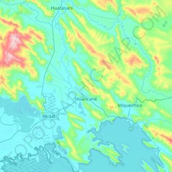
Name: Huancané topographic map, elevation, terrain.
Location: Huancané, Provincia de Huancané, Puno, Perú (-15.32007 -69.90323 -15.04700 -69.69917)
Average elevation: 3,930 m
Minimum elevation: 3,804 m
Maximum elevation: 4,538 m
Other topographic maps
Click on a map to view its topography, its elevation and its terrain.