
右玉县 topographic map
Interactive map
Click on the map to display elevation.
About this map
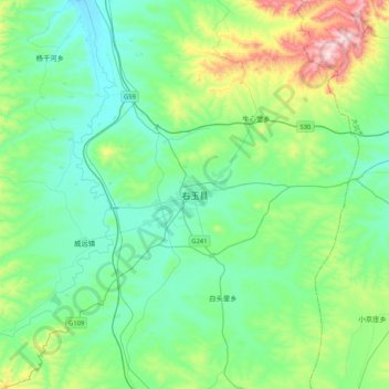
Name: 右玉县 topographic map, elevation, terrain.
Location: 右玉县, 朔州市, 山西省, 中国 (39.82839 112.30089 40.14839 112.62089)
Average elevation: 1,425 m
Minimum elevation: 1,280 m
Maximum elevation: 1,955 m