
Thank you for supporting this site ❤️
Make a donation
Make a donation
Gear up for your next adventure:
As an Amazon Associate, this site earns from qualifying purchases at no extra cost to you.
Schoot topographic map
Click on the map to display elevation.
Thank you for supporting this site ❤️
Make a donation
Make a donation
Gear up for your next adventure:
As an Amazon Associate, this site earns from qualifying purchases at no extra cost to you.
About this map
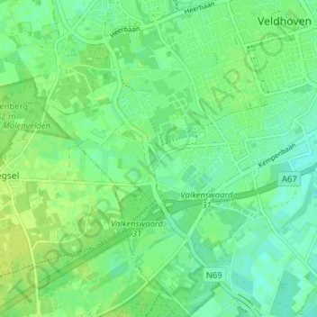
Name: Schoot topographic map, elevation, terrain.
Location: Schoot, Veldhoven, Noord-Brabant, Nederland, 5504 NA, Nederland (51.38165 5.35910 51.42165 5.39910)
Average elevation: 24 m
Minimum elevation: 17 m
Maximum elevation: 31 m
Thank you for supporting this site ❤️
Make a donation
Make a donation
Gear up for your next adventure:
As an Amazon Associate, this site earns from qualifying purchases at no extra cost to you.