
Dargan topographic map
Click on the map to display elevation.
About this map
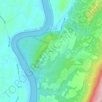
Name: Dargan topographic map, elevation, terrain.
Location: Dargan, Washington County, Maryland, 25410, United States (39.35732 -77.75305 39.39732 -77.71305)
Average elevation: 158 m
Minimum elevation: 84 m
Maximum elevation: 422 m