
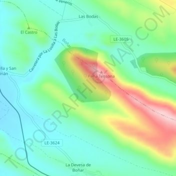
Arrones topographic map
Interactive map
Click on the map to display elevation.
About this map
Name: Arrones topographic map, elevation, terrain.
Location: Arrones, Vegaquemada, León, Castille-et-León, 24850, Espagne (42.82465 -5.30819 42.84465 -5.28819)
Average elevation: 1,021 m
Minimum elevation: 954 m
Maximum elevation: 1,173 m