Geolocate

Valayam topographic map

Click on the map to display elevation.

About this map
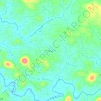
Name: Valayam topographic map, elevation, terrain.

Location: Valayam, Vadakara, Kozhikode district, Kerala, 673517, India (11.70202 75.64926 11.74202 75.68926)

Average elevation: 32 m

Minimum elevation: 9 m

Maximum elevation: 104 m

Gear up for your next adventure:

🗺️Topographic Maps - Detailed maps for hiking and navigation
🥾Heavy Duty Hiking Boots - Ankle-supporting boots for carrying heavy packs on steep contours
🧥Packable Rain Jackets - Breathable waterproof layers for unpredictable mountain weather
📚Map Reading & Navigation Guides - Master the art of interpreting topographic contours and symbols
🧭Military Style Lensatic Compass - Durable sighting compasses for advanced land navigation and surveying

As an Amazon Associate, this site earns from qualifying purchases at no extra cost to you.