
Mate Asher Regional Council topographic map
Interactive map
Click on the map to display elevation.
About this map
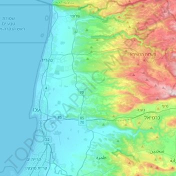
Name: Mate Asher Regional Council topographic map, elevation, terrain.
Average elevation: 185 m
Minimum elevation: -1 m
Maximum elevation: 875 m