
Villarrobledo topographic map
Interactive map
Click on the map to display elevation.
About this map
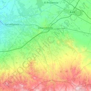
Name: Villarrobledo topographic map, elevation, terrain.
Location: Villarrobledo, Albacete, Castille-La Manche, 02600, Espagne (39.04154 -2.84266 39.34215 -2.33990)
Average elevation: 773 m
Minimum elevation: 665 m
Maximum elevation: 1,052 m