

Avignon topographic map
Click on the map to display elevation.
Avignon
Enclosed by the city walls, the Rocher des Doms is a limestone elevation of Urgonian type, 35 metres high (and therefore safe from flooding of the Rhone which it overlooks) and is the original core of the city. Several limestone massifs are present around the commune (the Massif des Angles, Villeneuve-lès-Avignon, Alpilles...) and they are partly the result of the oceanisation of the Ligurian-Provençal basin following the migration of the Sardo-Corsican block.
About this map
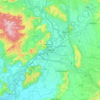
Name: Avignon topographic map, elevation, terrain.
Average elevation: 58 m
Minimum elevation: 3 m
Maximum elevation: 273 m