
Colmar topographic map
Interactive map
Click on the map to display elevation.
About this map
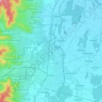
Name: Colmar topographic map, elevation, terrain.
Average elevation: 233 m
Minimum elevation: 174 m
Maximum elevation: 820 m
Other topographic maps
Click on a map to view its topography, its elevation and its terrain.
Häsingen
Frankreich > Grand Est > Oberelsass
Häsingen, Mülhausen, Oberelsass, Grand Est, Metropolitanes Frankreich, 68220, Frankreich
Average elevation: 287 m