
Brevens bruk topographic map
Interactive map
Click on the map to display elevation.
About this map
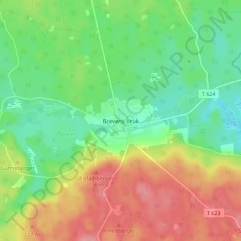
Name: Brevens bruk topographic map, elevation, terrain.
Location: Brevens bruk, Örebro, Comté d'Örebro, Svealand, 715 96, Suède (58.99323 15.56053 59.03323 15.60053)
Average elevation: 93 m
Minimum elevation: 55 m
Maximum elevation: 143 m