
Schenectady topographic map
Interactive map
Click on the map to display elevation.
About this map
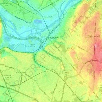
Name: Schenectady topographic map, elevation, terrain.
Location: Schenectady, Schenectady County, New York, VS (42.76358 -73.98347 42.84367 -73.89304)
Average elevation: 100 m
Minimum elevation: 60 m
Maximum elevation: 154 m